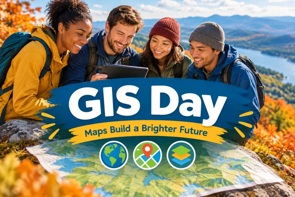
GIS Day
GIS Day is observed on November 18, introducing people to geographic information systems and the ways they help us understand places. A GIS combines location-based data with maps and other tools, making it possible to explore patterns and relationships that might be hard to spot in a list or spreadsheet.
How GIS Day started
GIS Day grew out of Geography Awareness Week, an annual initiative led by the National Geographic Society. In 1999, Esri president and co-founder Jack Dangermond proposed a day when people could learn about geographic information systems and see how they’re used. Esri and other organizations helped establish the observance, which is now marked by schools, libraries, community groups and workplaces around the world.
The central idea is straightforward: give people a chance to see what GIS can do and how maps built from data can inform decisions. Events often include demonstrations, talks, classroom activities and map displays. The date is observed on November 18, though local events may be held on a nearby day to suit their communities.
What GIS can show us
GIS stands for geographic information system. It brings together information linked to specific locations and presents it in map form. A map might show roads, waterways, buildings or land cover, then add another layer with information such as bus routes, tree locations or flood-prone areas. Looking at those layers together can reveal useful connections.
GIS is used in many fields. City planners may use it to study where new homes or public services could fit. Conservation teams can map habitats and track changes to land. Emergency responders can use location data to plan routes and understand which areas may need assistance. Businesses and public agencies also use GIS to answer practical questions about places and the people who use them.
Many people encounter GIS through familiar tools, even if they don’t know the name. Digital maps that help with directions rely on geographic data. So do interactive maps showing local amenities or public transport. GIS can also help turn a community question, such as where to add a safe walking route, into a clearer picture of the options.
Ways to take part
You don’t need special software or mapping experience to mark GIS Day. Start with a place you know well, then explore it through a map or local data project. Here are a few ways to join in:
- Look for a GIS Day event at a nearby school, library, university or community organization. Many events welcome beginners and include demonstrations.
- Explore an online map of your town. Notice what information it includes, such as parks, bike paths, transit stops or public buildings.
- Make a simple map of a familiar area. You could mark a neighborhood walk, places to see local birds, or the route between your home and a community space.
- Ask a local librarian, planner or conservation group how maps help with their work. A specific example can make the technology easier to understand.
- For a classroom activity, invite students to map something they observe, such as shade along a school route or the location of public art. Discuss what the map shows and what it leaves out.
When is GIS Day?
GIS Day: Every year on the third Wednesday of November.
| Year | Date | Day of the week |
|---|---|---|
| 2027 | November 17 | Wednesday |
| 2028 | November 15 | Wednesday |
| 2029 | November 21 | Wednesday |
| 2030 | November 20 | Wednesday |
| 2031 | November 19 | Wednesday |
📄 Free printable 2027 holiday calendar · 📅 Every holiday in 2027, month by month
Reviewed by the Holiday Day List editorial team on November 11, 2026 · Last updated November 11, 2026.
Frequently asked questions
When is GIS Day in 2027?
GIS Day is on Wednesday, November 17, 2027. After that, it falls on Wednesday, November 15, 2028. Every year on the third Wednesday of November.
Is GIS Day a public holiday?
No. GIS Day is an observance, not an official public holiday, so schools and businesses stay open as usual.
What is GIS Day?
GIS Day introduces people to geographic information systems and how location-based data can help us understand places. It’s observed on November 18, with events often featuring map displays, demonstrations, talks, and classroom activities.
How did GIS Day start?
GIS Day grew out of Geography Awareness Week, an initiative led by the National Geographic Society. In 1999, Esri president and co-founder Jack Dangermond proposed a day for people to learn about GIS and see how it’s used.
How can I take part in GIS Day?
Look for an event at a nearby school, library, university, or community organization, or explore an online map of your town. You can also make a simple map of a familiar area using local observations.
Sources
✓ Date matches NOAA: Celebrate Geography Awareness Week and GIS Day (checked automatically on November 11, 2026).